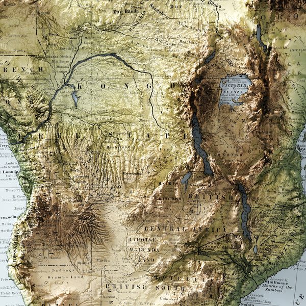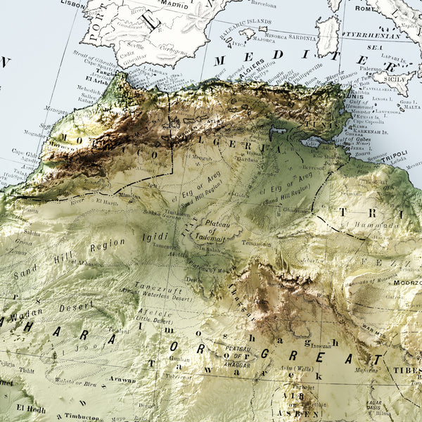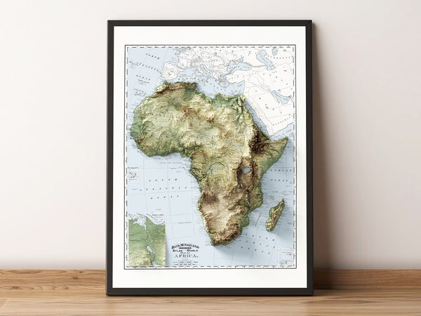
Africa Vintage Topographic Map (c.1895)
Vintage Topographic Map of Africa. First Published in 1895, we've added Shaded Relief modelled from SRTM Digital Elevation Data for a 3D-like visual perspective.
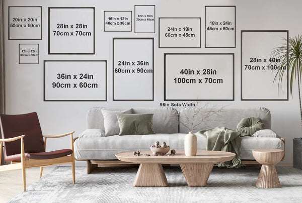
This is a flat 2D print with very realistic shading that appears as though it is 3D. Note that the main theme to our relief maps is the hillshading affect and in certain shaded areas on the map the process can make some of the original text illegible. Additionally, since we offer prints in sizes smaller than the original scale, this can make some text on the map illegible. That being said, the maps are stunning and intended for visual pleasure and not for geographic use.
Print Options:
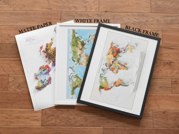
Matte Paper (Frameless). Museum-quality print made on thick and durable matte paper. Add a wonderful accent to your room or office with these prints that are sure to brighten any environment. Choose this option if you intend on providing your own frame.
- Paper weight: 200 gsm
- Giclée printing quality
Framed Print. High quality wood frame ready to hang on the wall. Simple and accents any wall colour, this makes a perfect gift for any map lover. Choose from 2 colours, black or white.
- Alder, semi-hardwood .75" thick frame
- Lightweight and easy to hang
- Acrylic front protector
- Hanging hardware included
FREE SHIPPING WORLDWIDE!!!
Please allow 2-7 business days to prepare your order and an additional 5-10 business days for courier delivery. Tracking information will be provided as the item is shipped.

